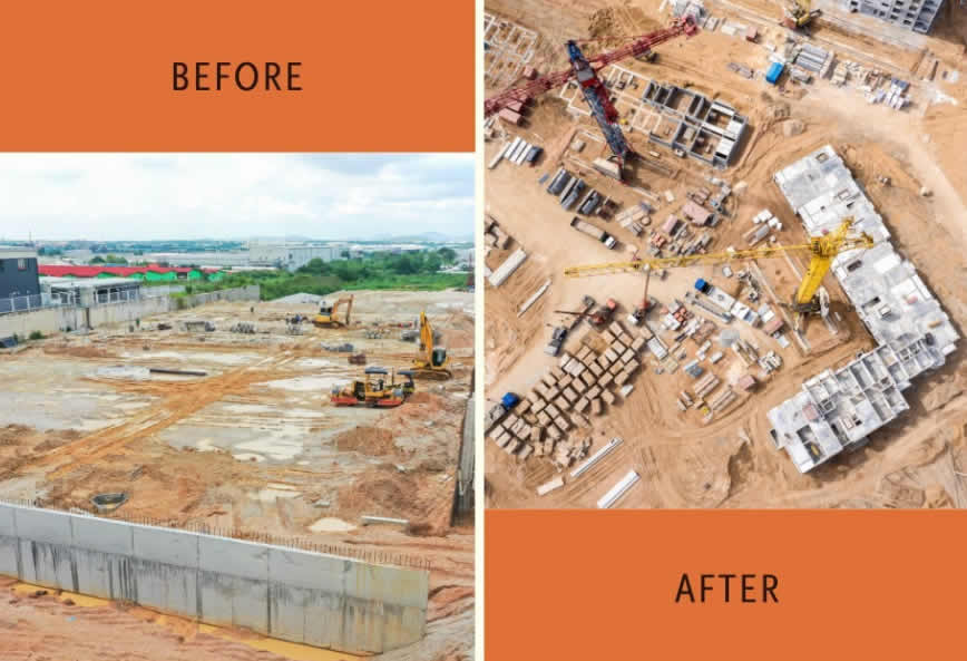
Monitor Your Project Like Never Before
Keep your construction projects on track with Cynosure Aerial’s construction progression services. Our high-resolution drone imaging allows you to track progress, monitor site conditions, and document every phase of your project with accuracy.
Why Construction Professionals Trust Us:
Frequent Aerial Updates
Scheduled drone flights provide up-to-date progress documentation.
Improved Project Oversight
Get comprehensive, real-time views of the site, reducing the need for multiple ground inspections.
Seamless Communication
Share high-resolution aerial images and reports with stakeholders, investors, and clients.
Risk Mitigation
Identify potential hazards and delays before they become costly problems.
How Our Process Works:
Initial Consultation
We assess your project needs and define key milestones.
Scheduled Drone Flights
Regular, automated aerial surveys tailored to your project timeline.
Data Processing & Analysis
Our team provides high-resolution imagery, time-lapse progression, and 3D mapping.
Actionable Insights
Use our reports to streamline operations, maintain compliance, and improve efficiency.
Industries We Serve:
- Commercial & Residential Construction – Monitor everything from site preparation to final handover.
- Infrastructure & Civil Engineering – Track large-scale projects, including roads, bridges, and utilities.
- Real Estate Development – Provide investors and buyers with up-to-date construction progress reports.
Ready to Enhance Your Project Management?
Our drone-based construction progression services empower project managers, contractors, and stakeholders with real-time aerial insights. Contact us today to discuss your project and see how our cutting-edge technology can streamline your workflow and improve efficiency.


